Subsurface Intelligence
Advanced Geophysical Surveys
Bakhir DG deploys state-of-the-art geophysical methods to deliver non-destructive, high-resolution subsurface visualization. By mapping structural anomalies and material properties, we unlock deep geological insights before capital is committed to extraction infrastructure.
Technical Execution
Precision Mapping Across Diverse Terrains
Our survey frameworks integrate regional gravity, magnetic, and electromagnetic signatures to construct continuous structural baselines. We systematically filter out localized surface noise, allowing deep-seated structural interfaces, fault zones, and mineralized host rocks to be accurately defined.
This comprehensive approach provides the analytical backbone for successful asset target generation. Whether applied to complex metallogenic provinces or deep sedimentary horizons, our operations maintain a rigid baseline of geometric and depth integrity.
Core Core Competencies
Integrated Exploration Modalities
Structural Demarcation
Mapping of major regional tectonic faults, shear zones, and contact margins to define precise horizontal and vertical deposit geometries.
Multi-Platform Mobility
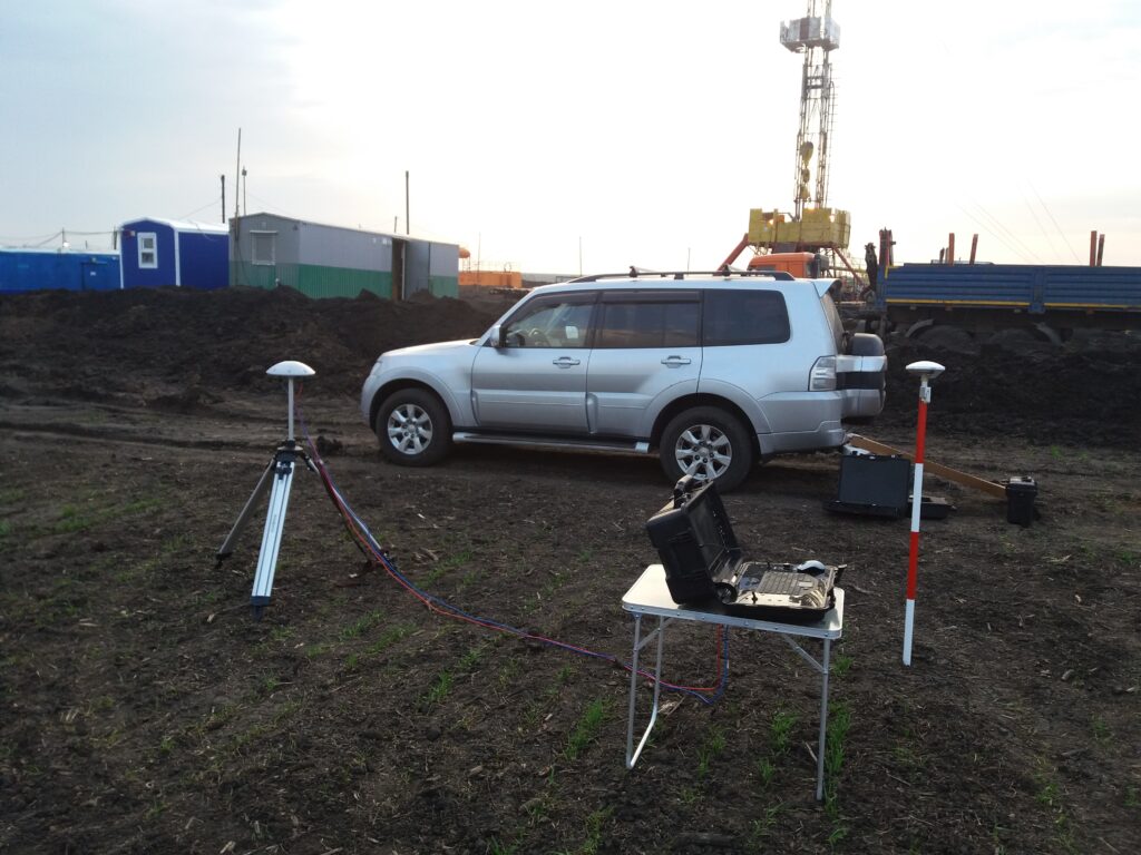
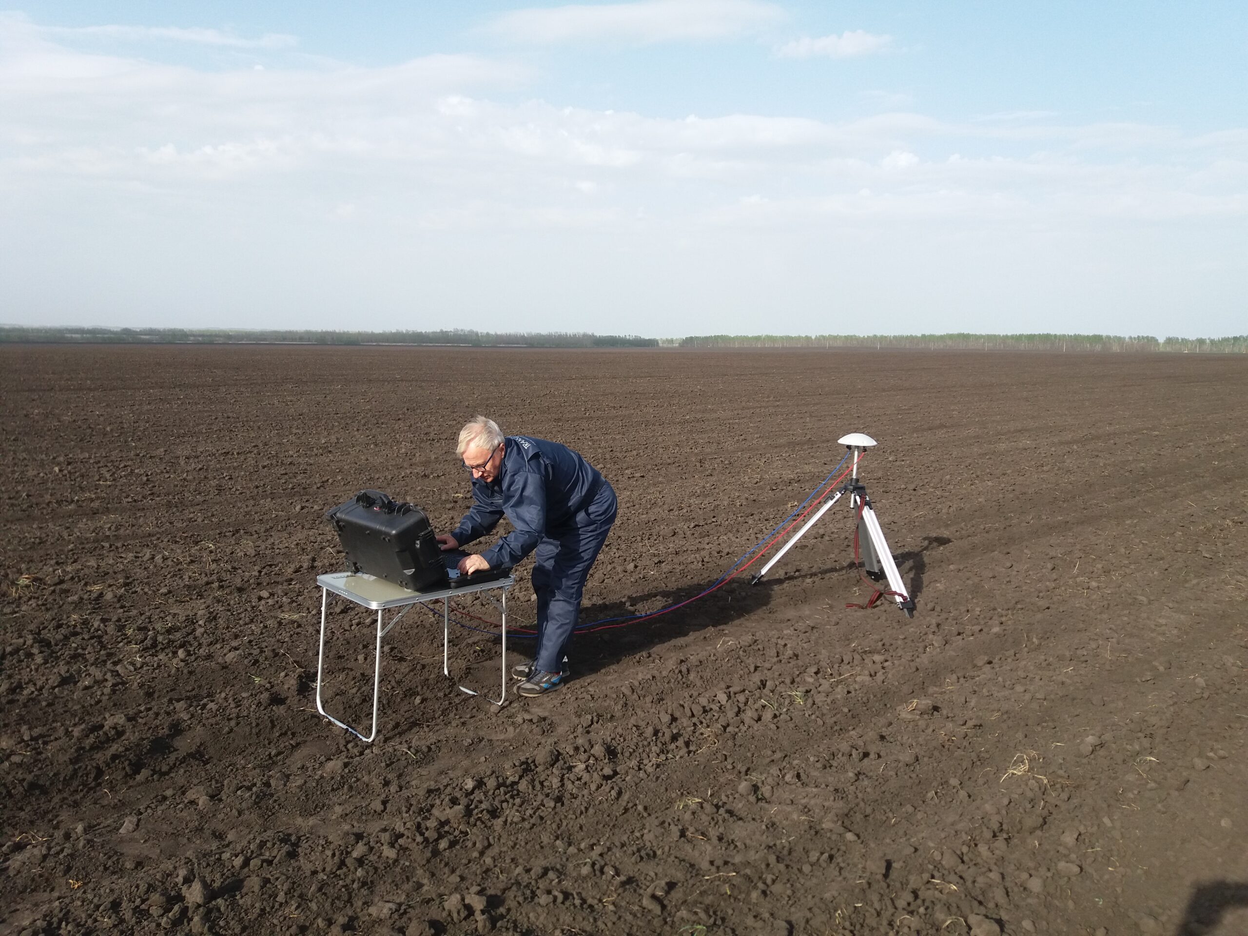
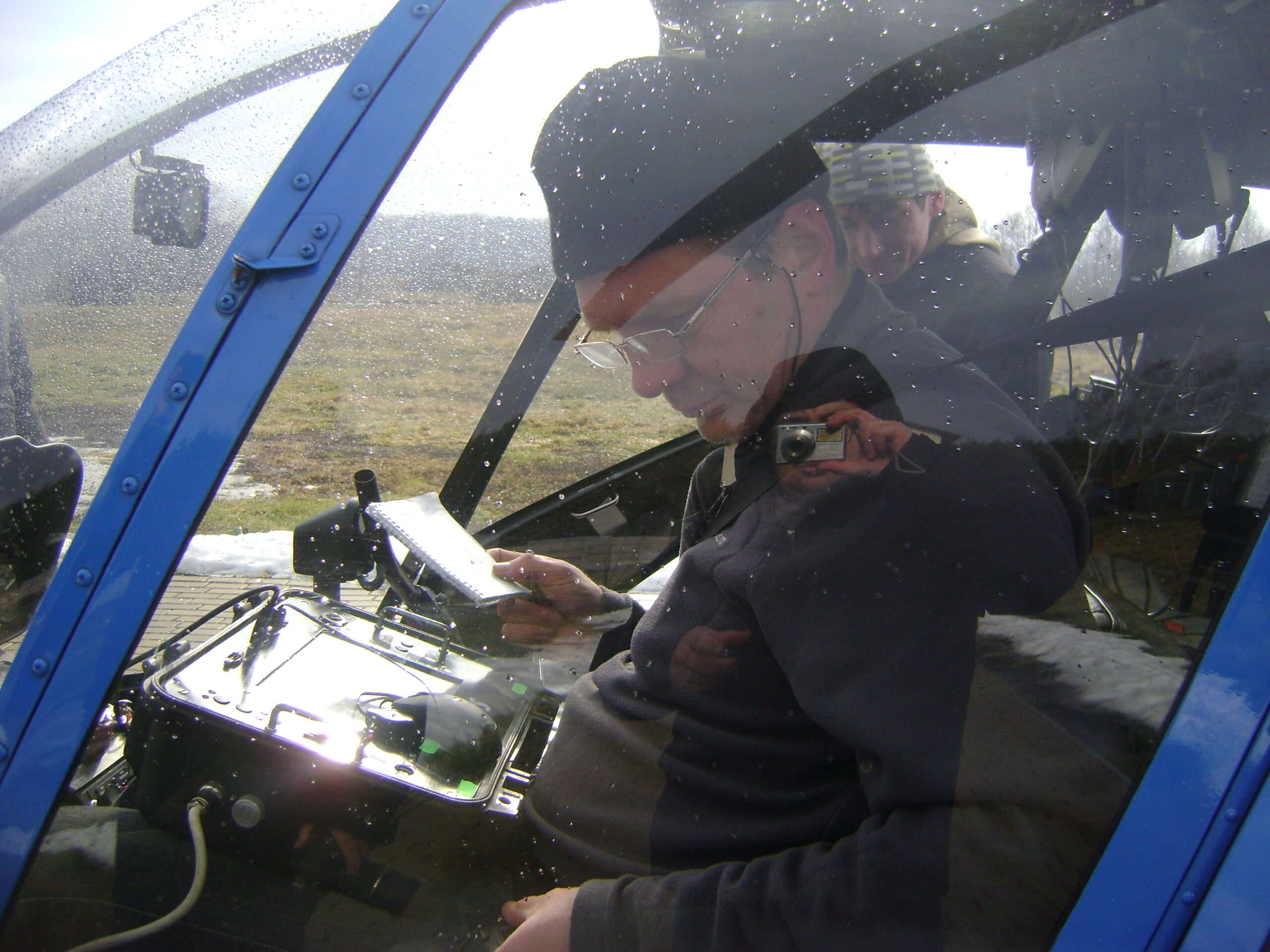
Dynamic mobilization across rugged environments using optimized vehicle, ground-station, and airborne sensor integrations tailored to specific target depths.
Risk-Averse Targeting
Cross-referencing complementary physical datasets to isolate anomalies, drastically minimizing target footprint uncertainty prior to drill rig deployment.